-JCyl_stere: Cylindrical stereographic
维基链接:https://en.wikipedia.org/wiki/Gall_stereographic_projection
Cylindrical stereographic(圆柱立体投影)不像其它的圆柱投影那样令人关注,但由于其相对简单且能够克服其它圆柱投影的缺点(比如高纬度的畸变),故而仍然被使用。立体投影是透视投影,将整个球沿着赤道上的对跖点投影到一个圆柱上。该圆柱于两条距赤道等间距的标准纬线处穿过球体。
该投影的参数为:
-JCyl_stere/[lon[/lat]]/width 或 -Jcyl_stere/[lon[/lat]]/scale
lon 中心经线 [默认为绘图区域的中心经线]
lat 标准纬线 [默认是赤道。若使用,则必须指定中心经线]
width 地图宽度
scale 地图比例尺,即每度在图上的长度或 1:xxxx (图上 1 厘米对应真实地球 xxxx 厘米)
一些比较流行的标准纬线的选择如下:
Miller’s modified Gall |
66.159467° |
Kamenetskiy’s First |
55° |
Gall’s stereographic |
45° |
Bolshoi Sovietskii Atlas Mira or Kamenetskiy’s Second |
30° |
Braun’s cylindrical |
0° |
gmt begin GMT_gall_stereo
gmt set FORMAT_GEO_MAP dddA
gmt coast -R-180/180/-60/80 -JCyl_stere/0/45/12c -Bxa60f30g30 -Bya30g30 -A5000 -Wblack -Gseashell4 -Santiquewhite1
gmt end show
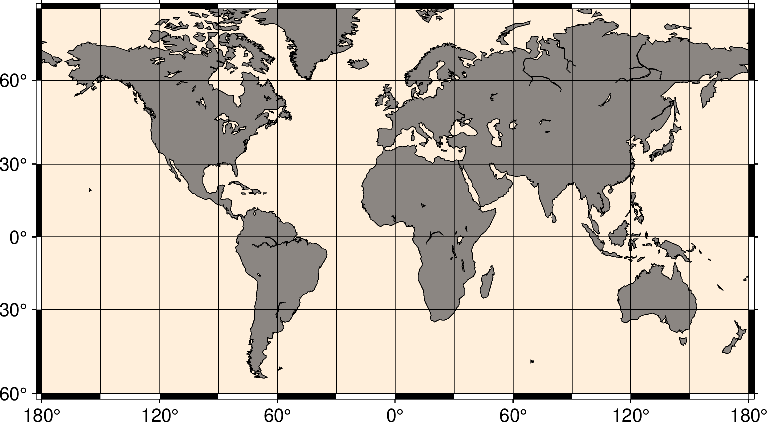
使用 Gall 立体投影绘制世界地图